Departure
Finally we had to make a start, even if it was a short one... When crossing the continent I log the time as GMT and so from now on I will write the times as Zulu (GMT) time.
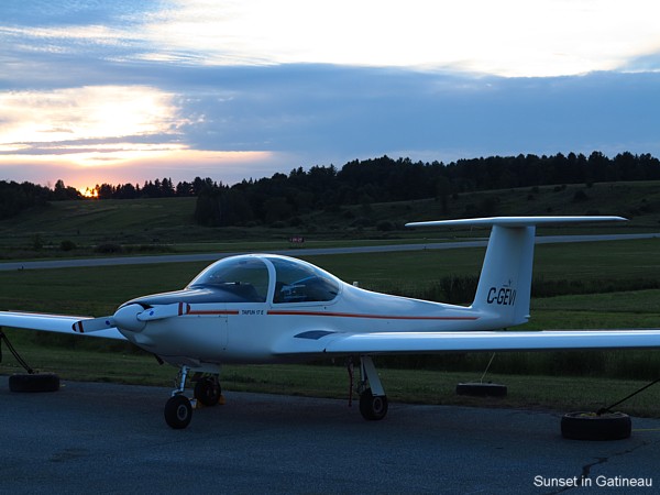
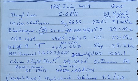
18th July: The first leg was to
Gatineau Quebec, across the river from Ottawa. Takeoff
was at 22:04z and landing was at 23:19z. (All times are
air time excluding taxying).
|
|
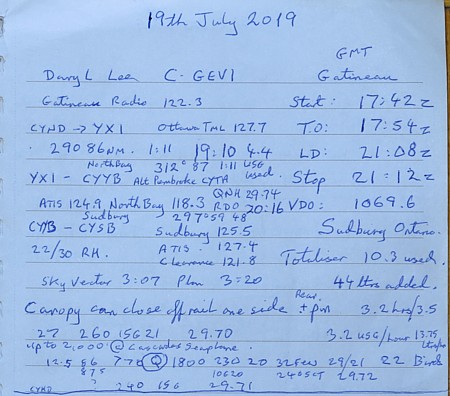
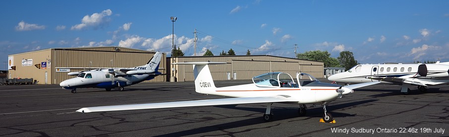
19th July: Gatineau to
Sudbury Ontario, T/O 17:54z - Land 21:08z, totaliser: 10.3 USG.
Added 44 litres 100LL.
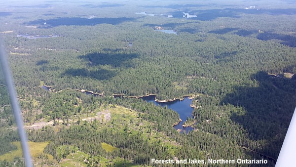
We routed via overhead North Bay.
At Sudbury we learned a taxi ride into town would be $100 each
way... You can rent a car for less, and so Daryl went to pick up
a car while I found a safe place to tie the aeroplane down for
the night. The car rental ended up costing less than $100 all in.
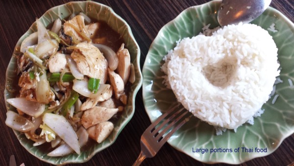
We drove to a Thai restaurant in town... The waitress was a bit
abrupt, "... we close in forty five minutes..." but
warmed up a little as time passed. The food was good, but the
servings were massive...
Eastern Canada has gone big, and this was amusingly demonstrated
at the hotel where the two girls in the reception office filled
its volume like two blancmange eggs wobbling against each other
in a box, bloop bloop, like two smooth Vogons.
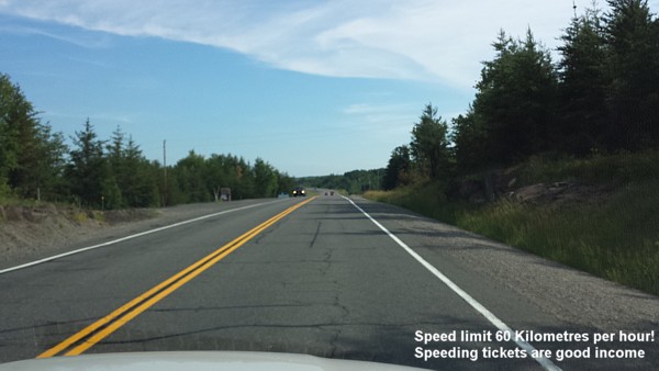
The drive to the airport in the morning
Now for the long haul
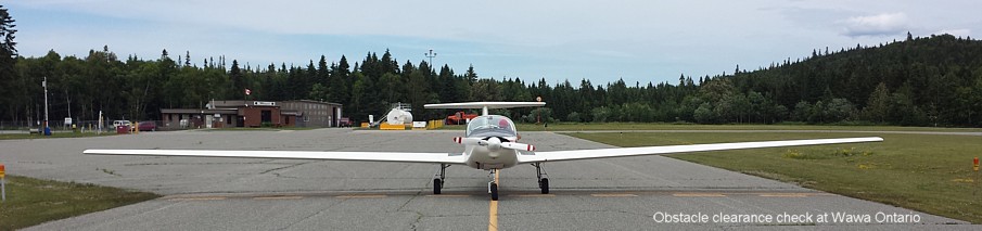
With a 55.9 foot wingspan it is important to be able to estimate
clearances at airport we might visit when travelling across
country
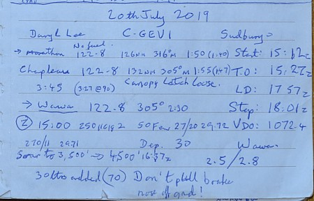
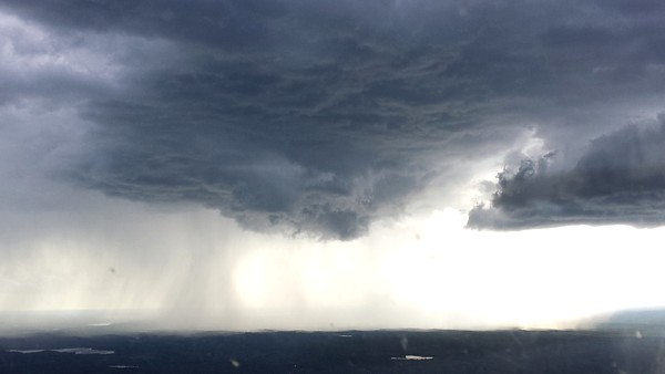
20th July:
|
|
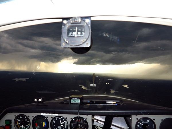
Connected to the internet at Thunder Bay FltPlanGo showed a few storms on our route to Fort Francis, and as expected we met two storms with a gap between for us to pass.
Here we pass through a bit of American
airspace as they have a protrusion into Canada for fishing